1801_Cary_Map_of_the_East_Indies_and_Southeast_Asia_(_Singapore,_Borneo,_Sumatra,_Java,_Philippines_-_Geographicus_-_EastIndies-cary-1801

1818 Pinkerton Map of the East Indies and Southeast Asia (Singapore, Borneo, Java, Sumatra, Thailand - Geographicus - EastIndiaIslands-pinkerton-1818

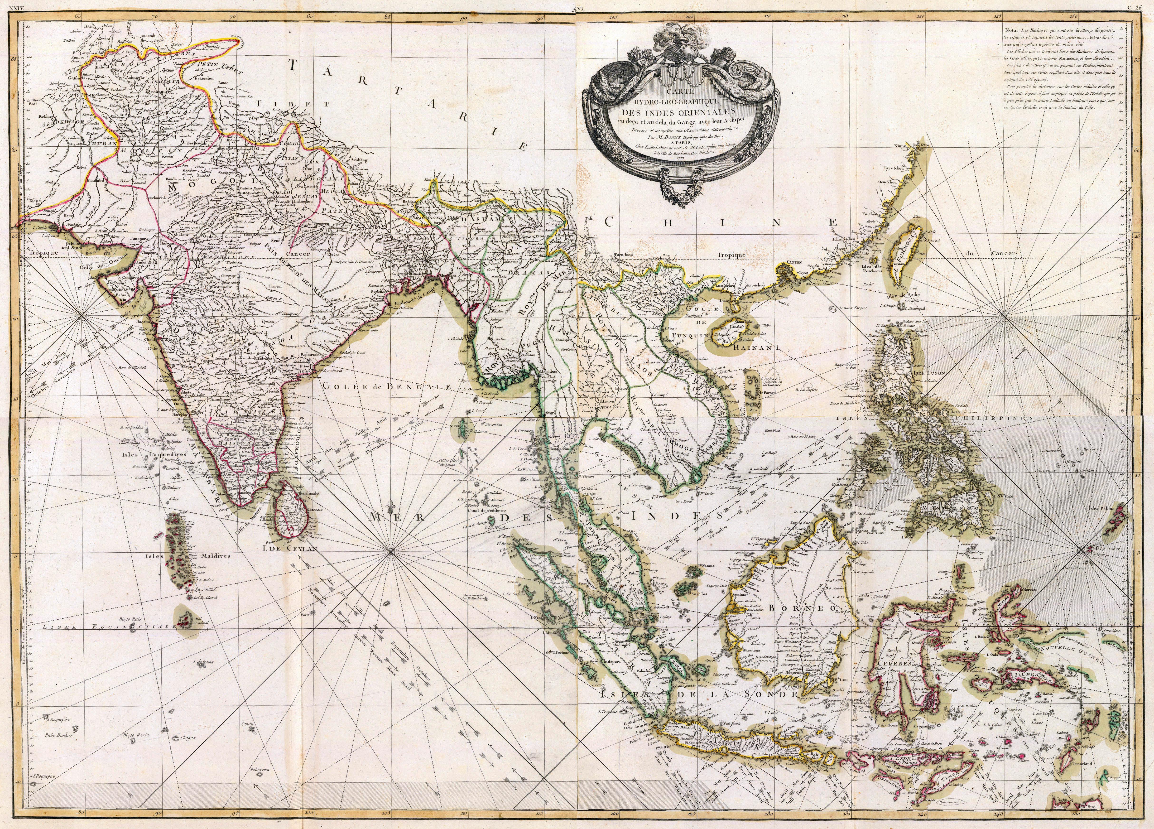
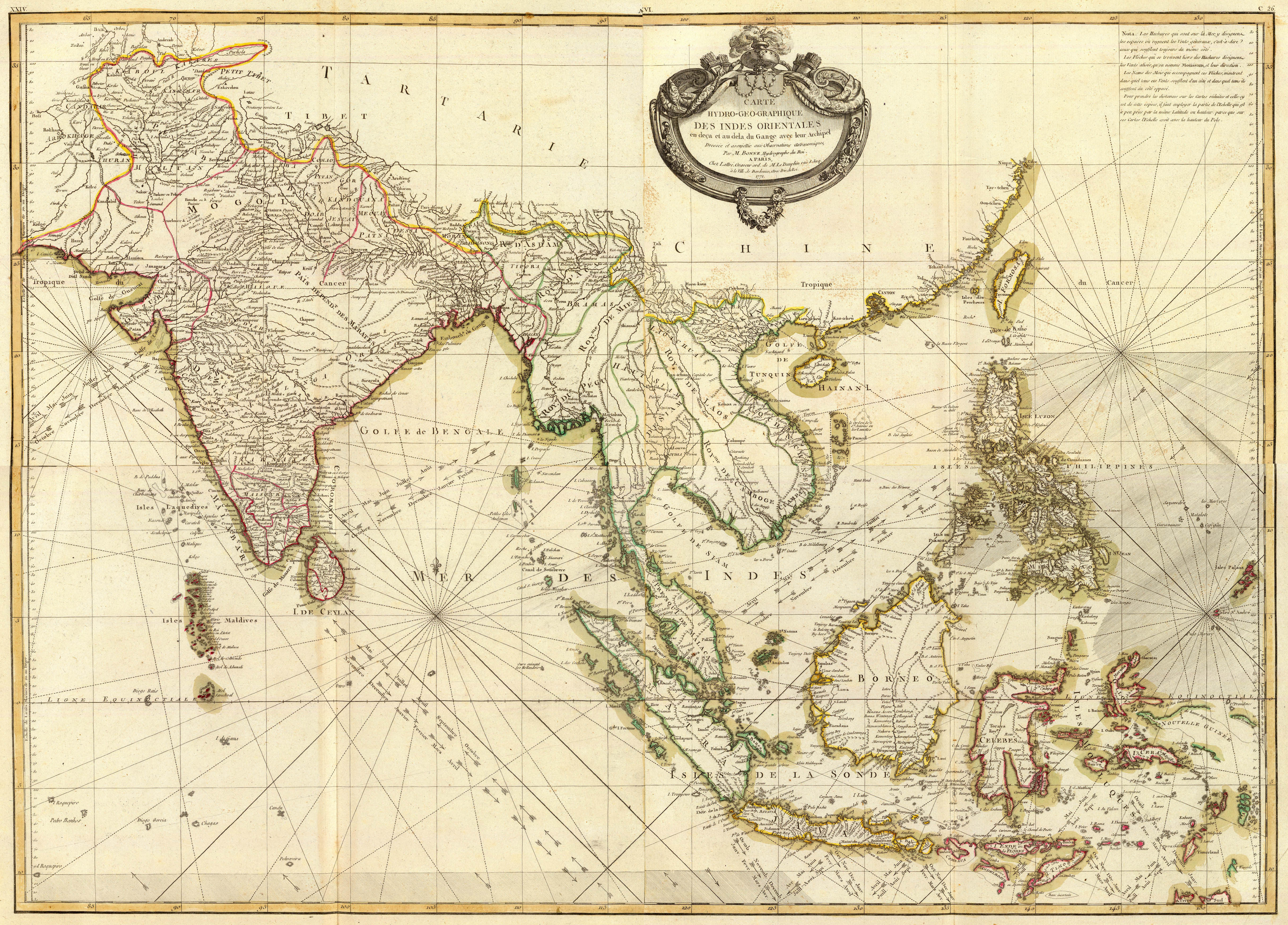
This 1771 French Map shows yet further improvements in the understanding of the coastlines, although in the Indies there are still some information missing. This map shows the all important trade winds
Stieler Antique Map of India and Southeast Asia. 1876.

jansson_east_indies_indiae-orientalis-nova-descriptio_1762


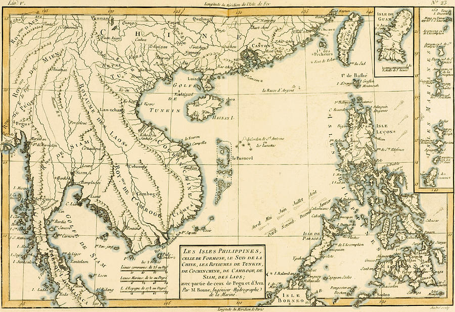
1770_Bonne_Map_of_India,_Southeast_Asia_^_The_East_Indies_(Thailand,_Borneo,_Singapore)_-_Geographicus_-_SoutheastAsia-bonne-1770

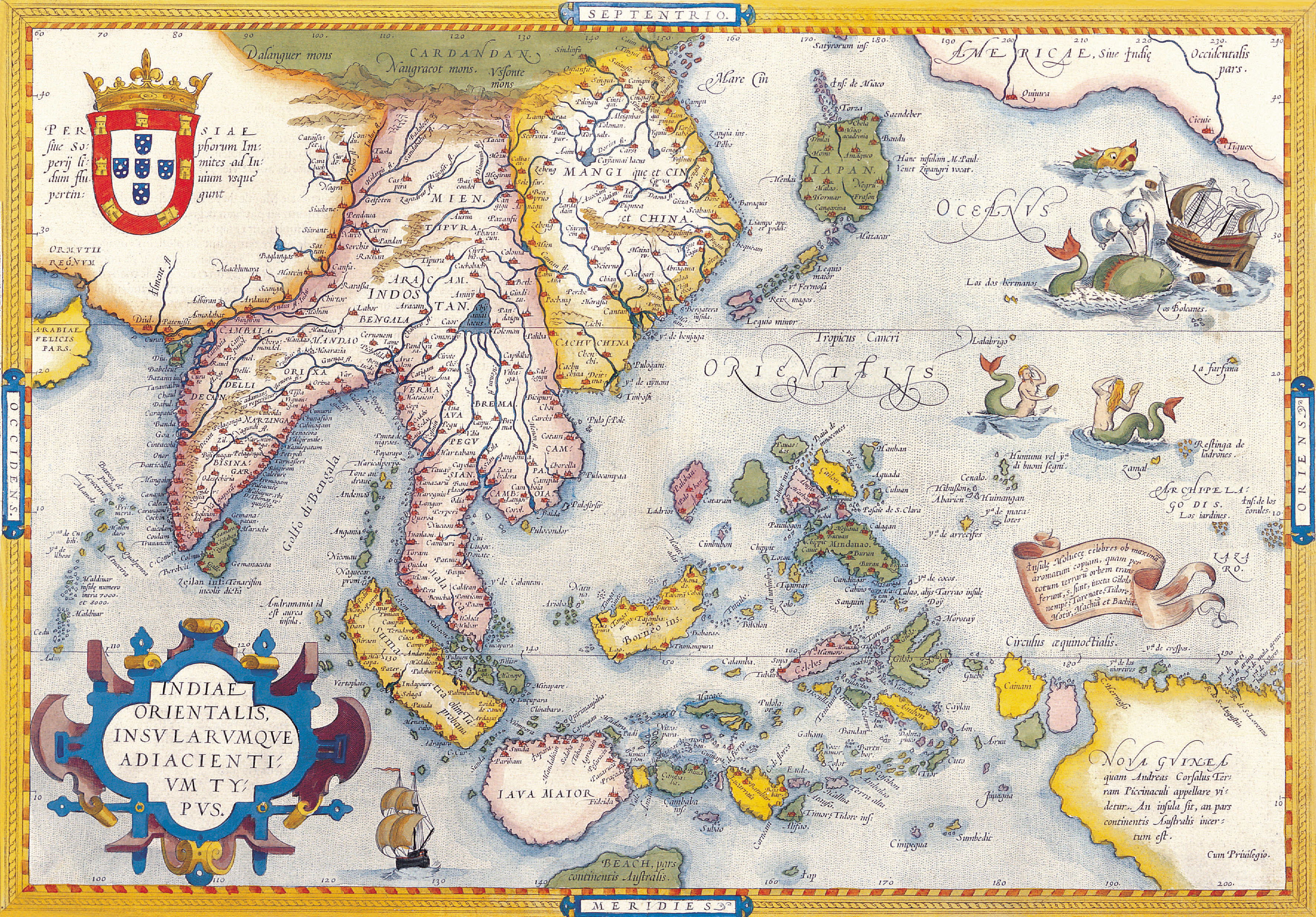
published 1598 in the Atlas 'Theatrum Orbis Terrarum' at Christopher Platin in Antwerp. Finely hand-colored in wash and outline. The map is ornated with ...

Mercator map of “India Orientalis”, Amsterdam 1619
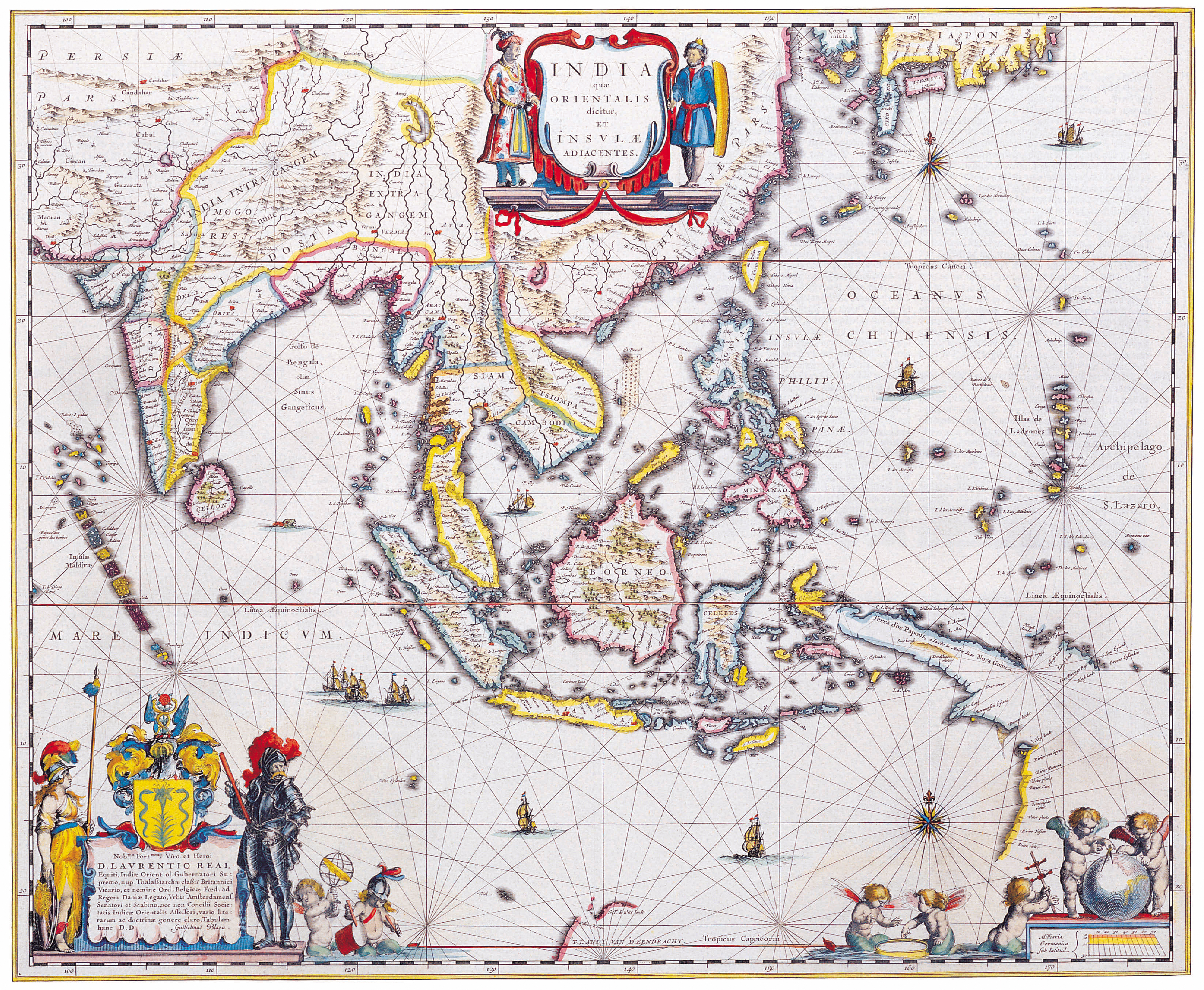
india-orientalis-jansonnius-1638

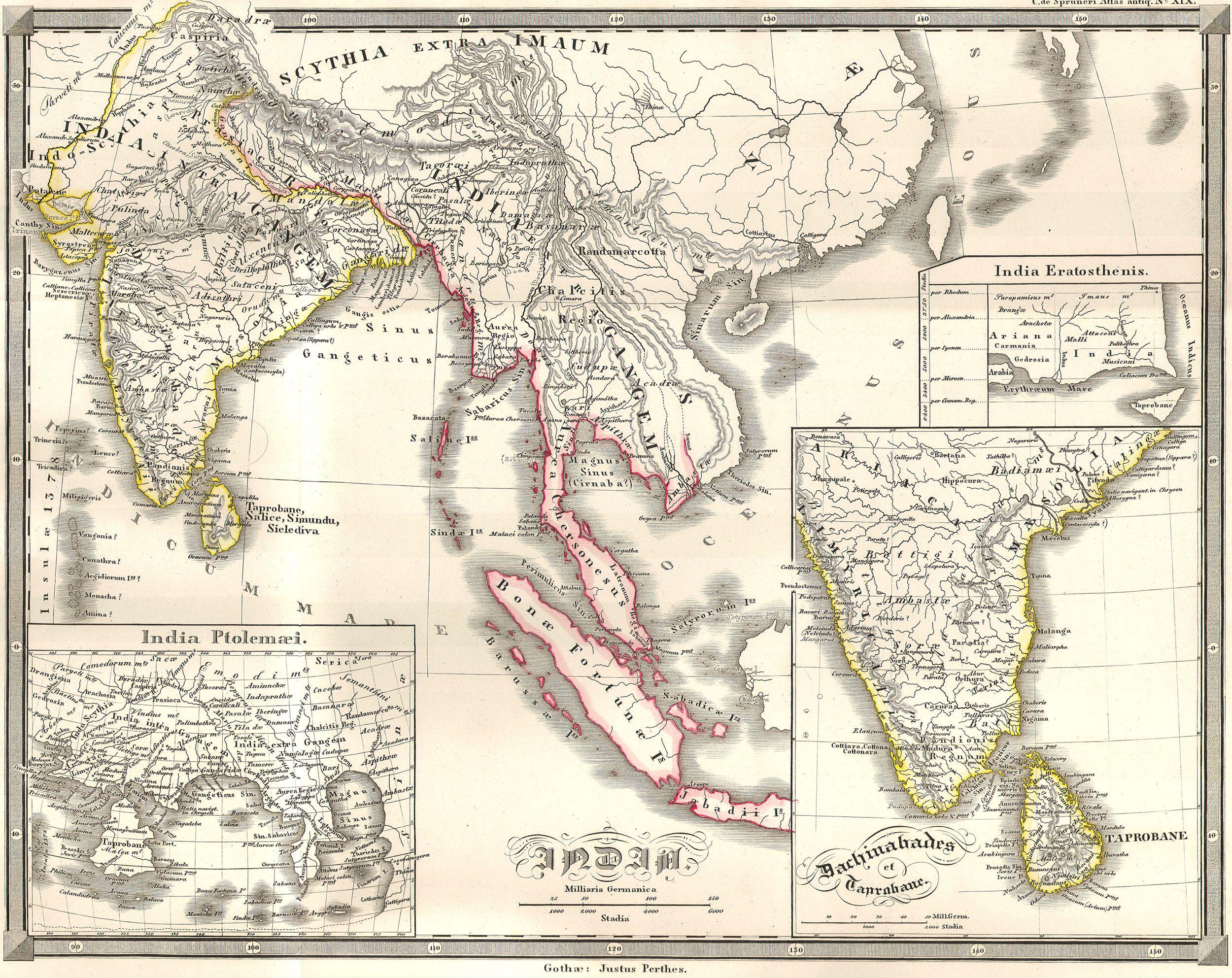
1855_Spruneri_Map_of_India_and_Southeast_Asia_in_Ancient_Times_-_Geographicus_-_India-spruneri-1855
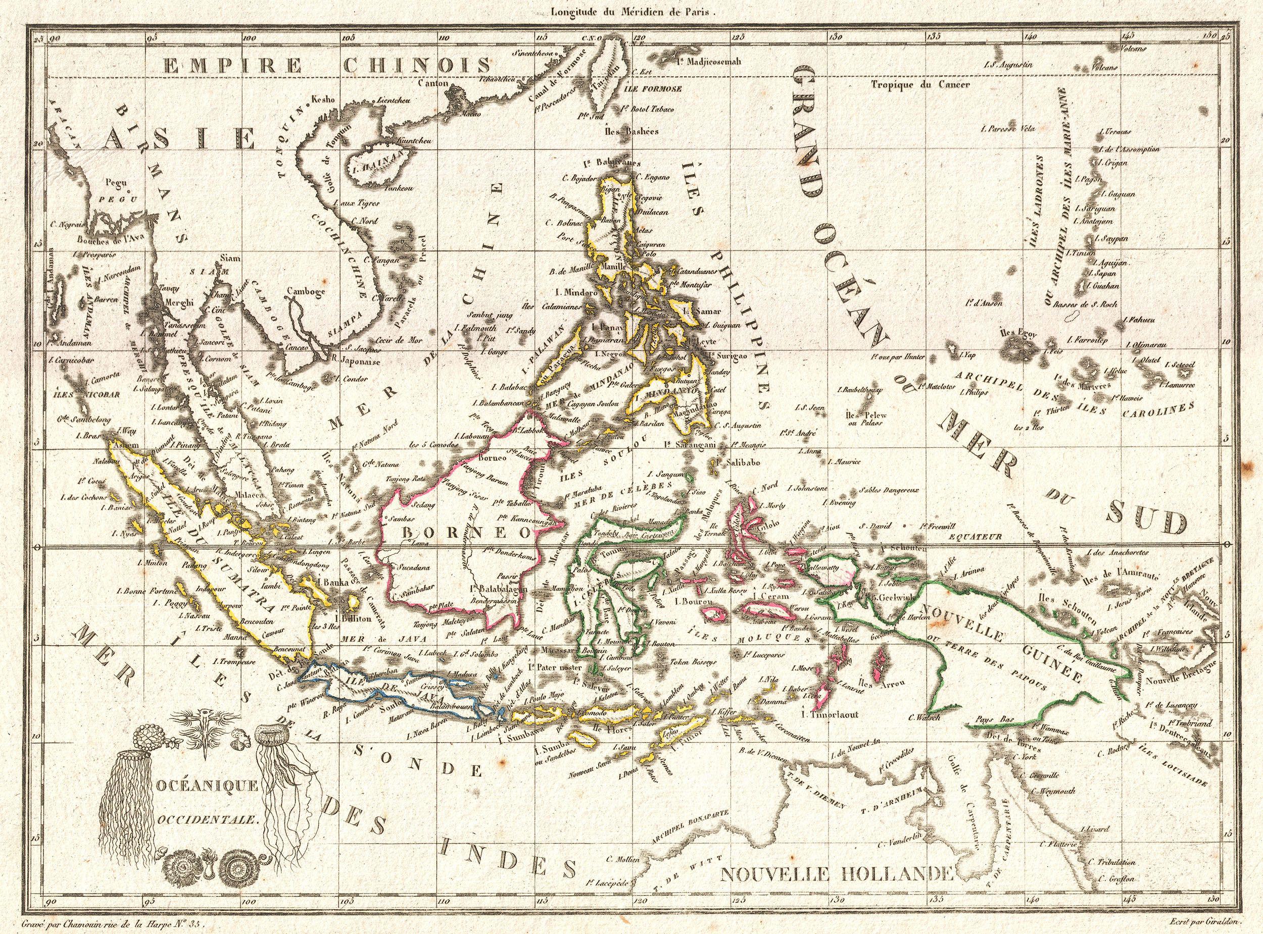
1810 Tardieu Map of the East Indies, Singapore, Southeast Asia, Sumatra


Mapa-de-Asia-1808
asia_1892_amer_ency_brit

Dutch map of Southeast Asia from the 1720s

1650 in Southeast Asia

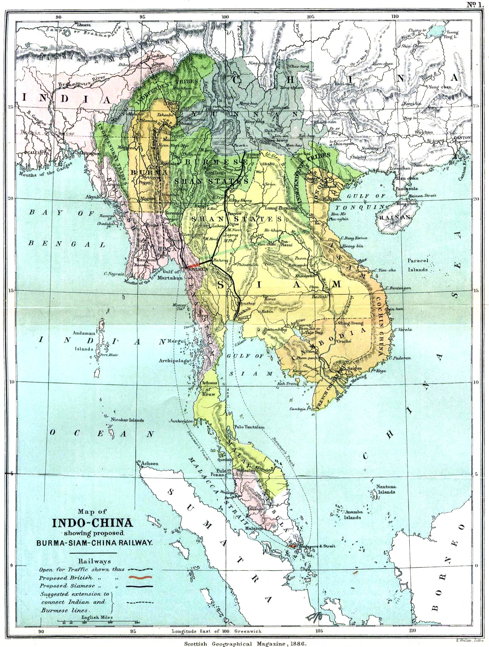
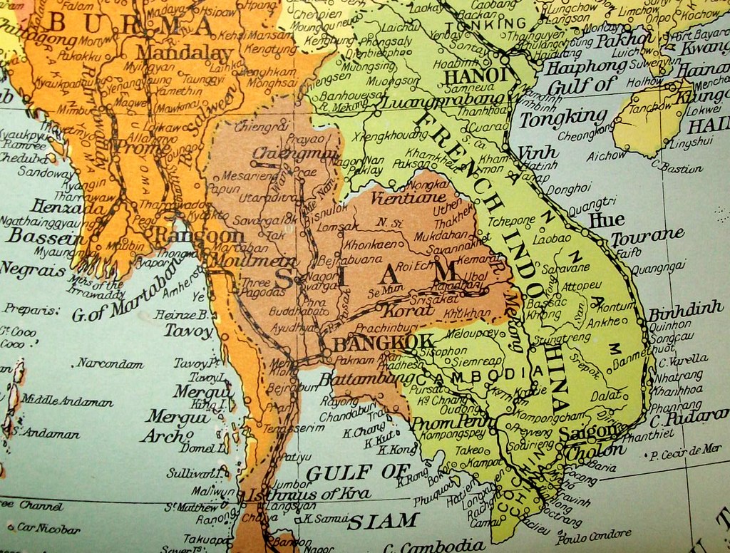
Mainland southeast Asia, 1886
Mitchell's 1864 map of Tibet and China.
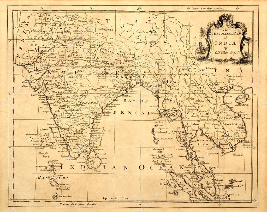
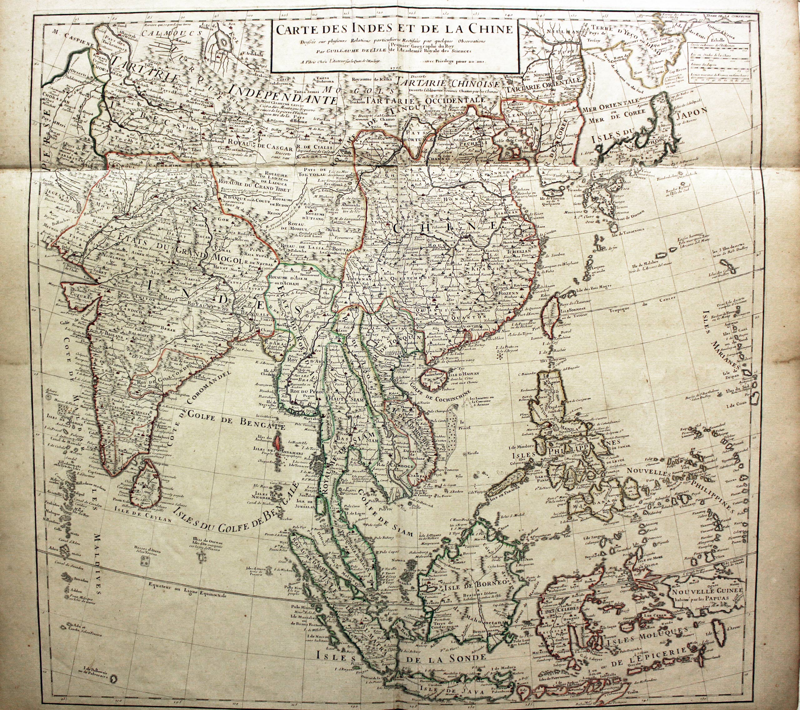
Antique map of India and Southeast Asia printed in 1750
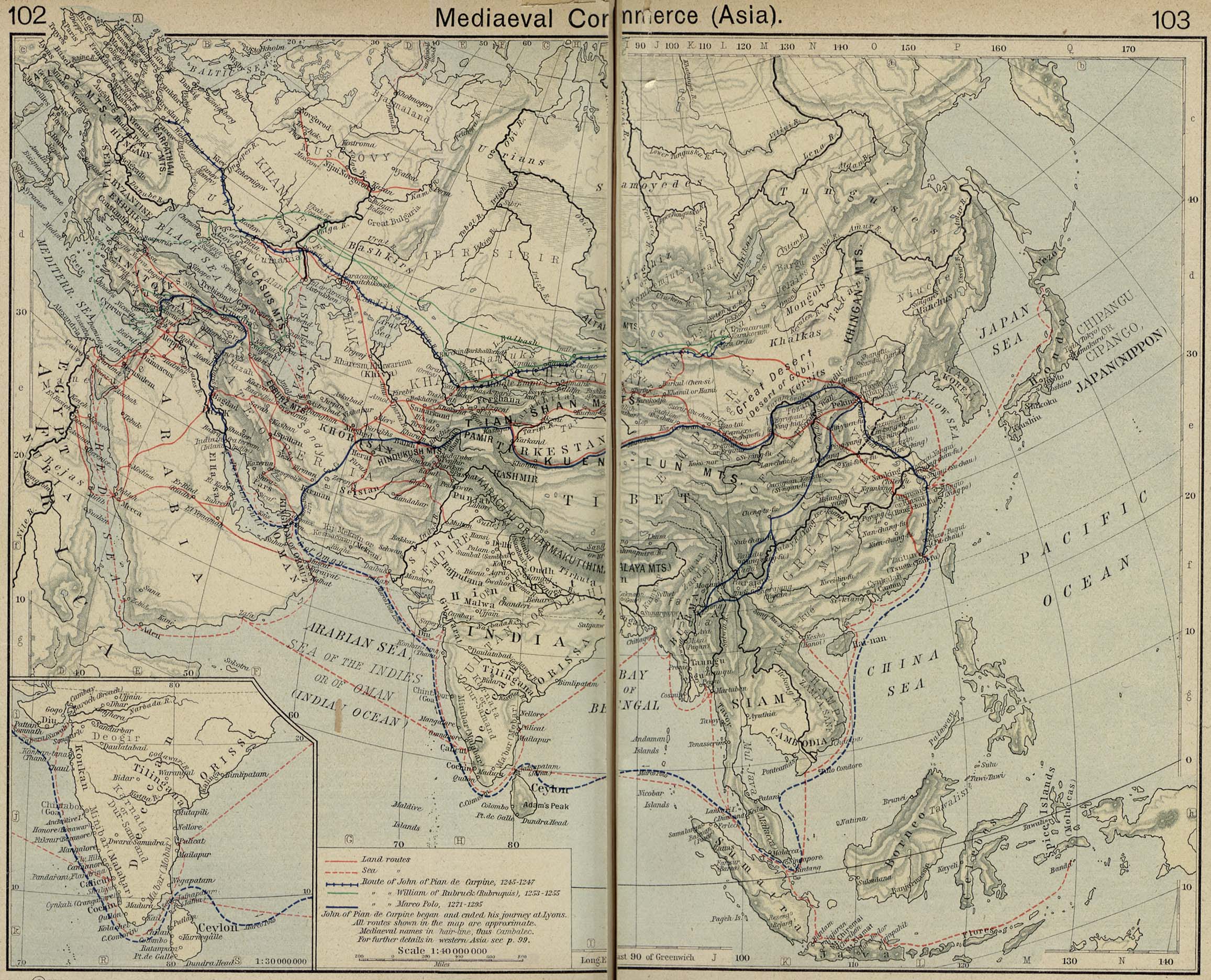
Mediaeval Commerce in Asia, from Historical Atlas by William R. Shepherd
Southeast Asia 1684
Recentissima Asiae Delineatio, the 1730 map of Johan Christoph Homann. Asia is shown in color. The names are in Latin. The Asia of this map geographically ...

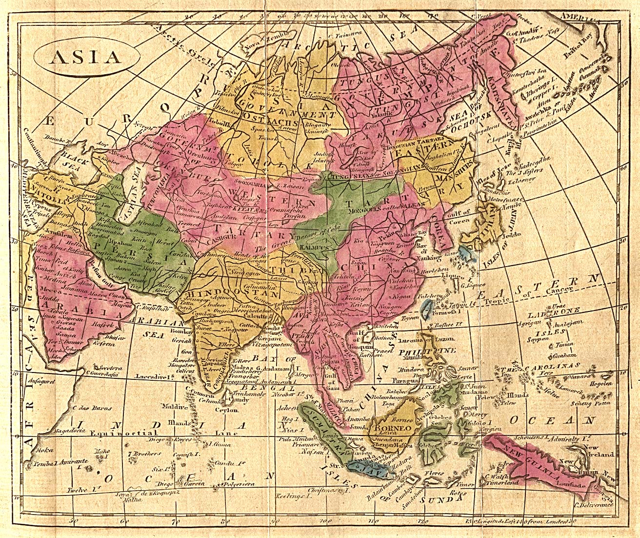
1804 Mentelle 21 asia

An elaborate map of the British Empire in 1886, marked in the traditional colour for imperial British dominions on maps

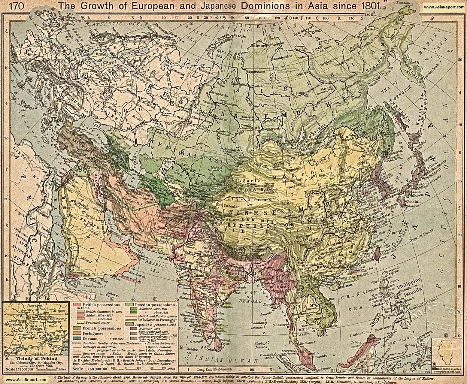
Map-Colonialism-Growth_Dominions-Japan_after_1801AD

Asia, 1912, Trade Routes of Asia ...

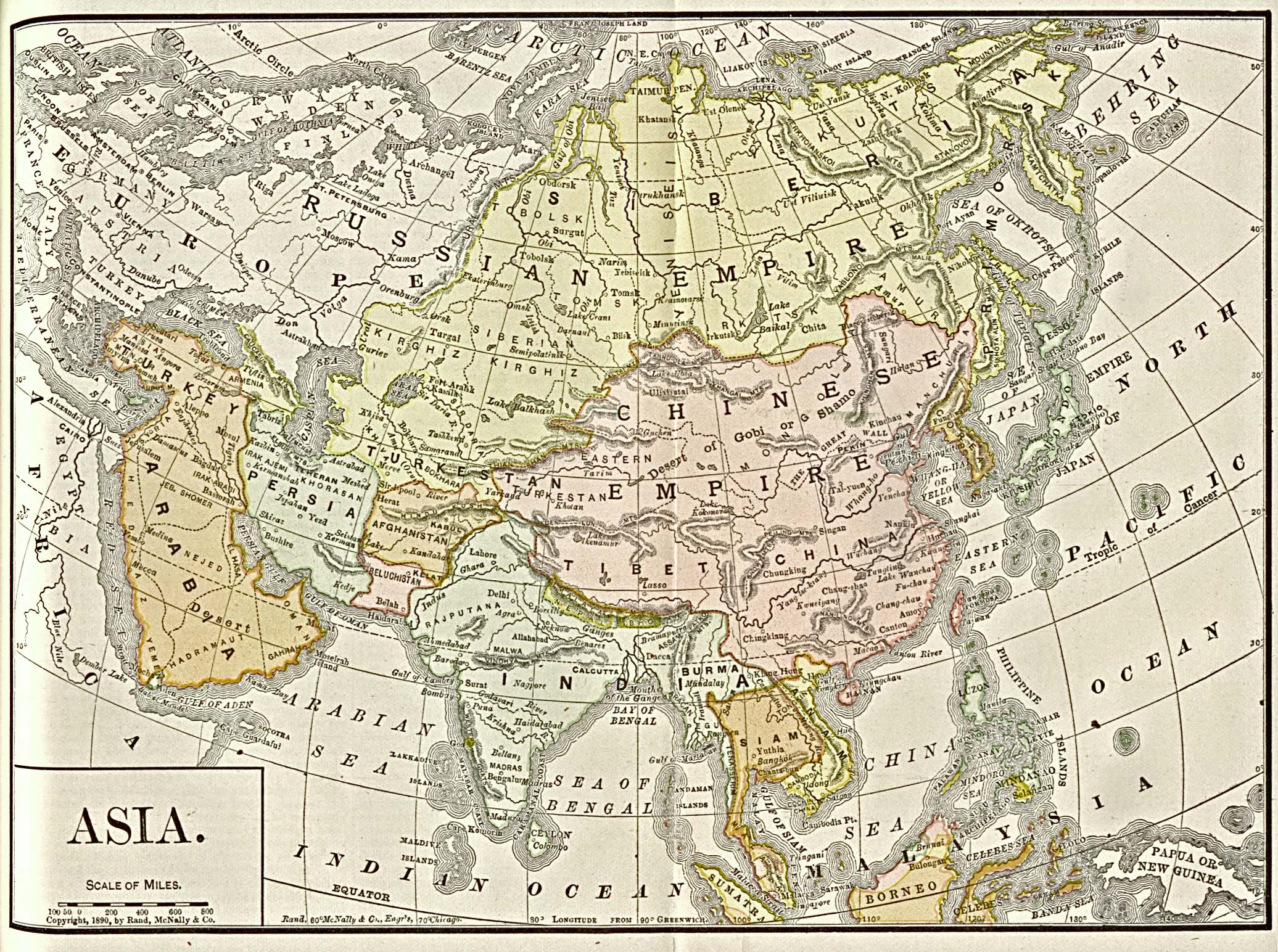
1890 map of Asia

Southeast Asia 1945-50
Ming-Empire

1818 Pinkerton Map of the East Indies and Southeast Asia (Singapore, Borneo, Java, Sumatra, Thailand - Geographicus - EastIndiaIslands-pinkerton-1818
This 1771 French Map shows yet further improvements in the understanding of the coastlines, although in the Indies there are still some information missing. This map shows the all important trade winds
Stieler Antique Map of India and Southeast Asia. 1876.
jansson_east_indies_indiae-orientalis-nova-descriptio_1762
1770_Bonne_Map_of_India,_Southeast_Asia_^_The_East_Indies_(Thailand,_Borneo,_Singapore)_-_Geographicus_-_SoutheastAsia-bonne-1770
published 1598 in the Atlas 'Theatrum Orbis Terrarum' at Christopher Platin in Antwerp. Finely hand-colored in wash and outline. The map is ornated with ...
Mercator map of “India Orientalis”, Amsterdam 1619
india-orientalis-jansonnius-1638
1855_Spruneri_Map_of_India_and_Southeast_Asia_in_Ancient_Times_-_Geographicus_-_India-spruneri-1855
1810 Tardieu Map of the East Indies, Singapore, Southeast Asia, Sumatra
Mapa-de-Asia-1808
asia_1892_amer_ency_brit
Dutch map of Southeast Asia from the 1720s
1650 in Southeast Asia
Mainland southeast Asia, 1886
Mitchell's 1864 map of Tibet and China.
Antique map of India and Southeast Asia printed in 1750
Mediaeval Commerce in Asia, from Historical Atlas by William R. Shepherd
Southeast Asia 1684
Recentissima Asiae Delineatio, the 1730 map of Johan Christoph Homann. Asia is shown in color. The names are in Latin. The Asia of this map geographically ...
1804 Mentelle 21 asia
An elaborate map of the British Empire in 1886, marked in the traditional colour for imperial British dominions on maps
Map-Colonialism-Growth_Dominions-Japan_after_1801AD
Asia, 1912, Trade Routes of Asia ...
1890 map of Asia
Southeast Asia 1945-50
Ming-Empire
Nhận xét
Đăng nhận xét